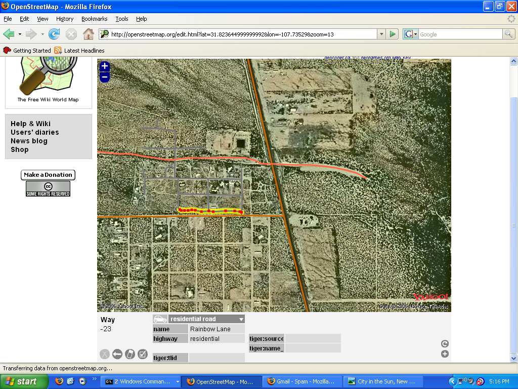
Just about finished plotting the COS map at OSM. Had fun adding the arroyo as a footpath (shown in bright red in the diagram). The culvert under Highway 11 is tall enough to stand in, you just have to watch out for barbed wire on each end.
last updated 2013-01-10 20:55:57. served from tektonic.jcomeau.com